Enhanced R&D Programmes with Drone Assessments
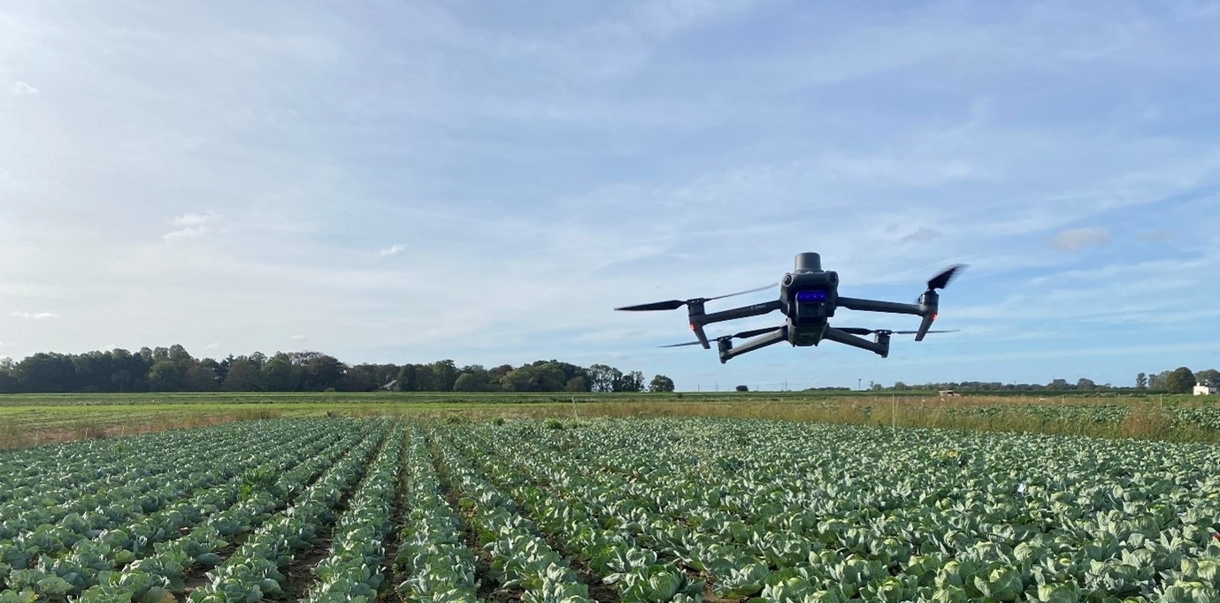
Envirofield is pleased to be able to offer clients access to state of the art digital phenotyping capabilities.
Our entirely new drone-based service incorporates the latest spectrometry equipment, advanced imagery processing techniques and artificial Intelligence to enhance any R&D programme.
Envirofield now offer an advanced plot level analysis, which is repeatable, objective and accurate throughout the growing season of an array of crops.
Capabilities include:
For further information or to discuss requirements please click the button below to view our contact details or to submit an enquiry online.